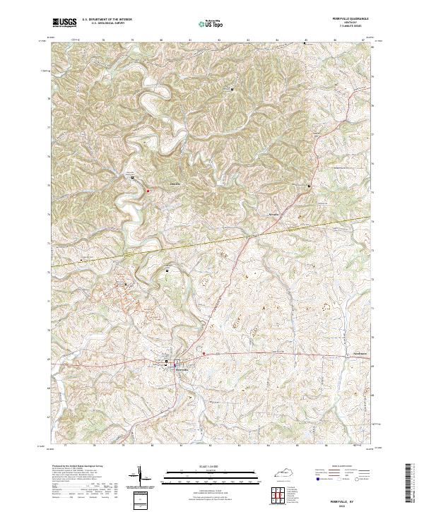
2022 Map of Perryville
USGS Topo · Published 2022About this map
Perryville and its surrounding countryside in Mercer Co and Boyle Co are defined by a network of winding waterways and commemorative sites. The Chaplin River carves through the landscape, joined by tributaries like Doctors Fork, Wilson Cr, and Phil Williams Run. This area is particularly dense with ancestral burial grounds, ranging from the prominent Perryville National Cem to family plots like the Patterson Family Cem and the Goodknight Cem.
Find a feature on this map
90 named features on this map. Tap any name to fly to it.
Don’t see what you’re looking for? This feature index may not catch every label — zoom into the map to look around manually.
Map Details
Editions of this 2022 Perryville Map
This is the sole edition of this map. No revisions or reprints were ever made.
Other maps of this area

1905 · Harrodsburg
USGS Topo · 1:125,000

1952 · Perryville
USGS Topo · 1:24,000

1952 · Danville
USGS Topo · 1:24,000

1952 · Harrodsburg
USGS Topo · 1:24,000

1952 · Cornishville
USGS Topo · 1:24,000

1952 · Junction City
USGS Topo · 1:24,000

1952 · Parksville
USGS Topo · 1:24,000

1953 · Mackville
USGS Topo · 1:24,000

1953 · Gravel Switch
USGS Topo · 1:24,000

1953 · Cardwell
USGS Topo · 1:24,000