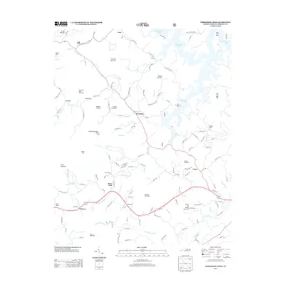
2013 Map of Persimmon Creek
USGS Topo · Published 2013About this map
Persimmon Lake and its many finger-like inlets dominate the northern reaches of this Cherokee County landscape, where the waters of Michen Branch and Doe Run gather. The terrain is defined by a dense network of high ridges and gaps, including Ghormley Mountain and Chestnut Gap Mountain, which channel local travel along winding roads like the Hiwassee Dam Access Rd.
Find a feature on this map
143 named features on this map. Tap any name to fly to it.
Don’t see what you’re looking for? This feature index may not catch every label — zoom into the map to look around manually.
Map Details
Editions of this 2013 Persimmon Creek Map
This is the sole edition of this map. No revisions or reprints were ever made.
Other maps of this area

1888 · Ellijay
USGS Topo · 1:125,000

1892 · Ellijay
USGS Topo · 1:125,000

1893 · Murphy
USGS Topo · 1:125,000
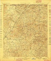
1898 · Ellijay
USGS Topo · 1:125,000
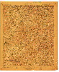
1911 · Ellijay
USGS Topo · 1:125,000

1914 · Murphy
USGS Topo · 1:125,000
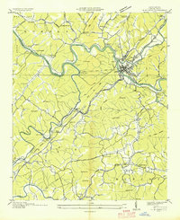
1934 · Murphy
USGS Topo · 1:24,000
1934 · Persimmon Creek
USGS Topo · 1:24,000
1934 · McDaniel Bald
USGS Topo · 1:24,000
1934 · Unaka
USGS Topo · 1:24,000