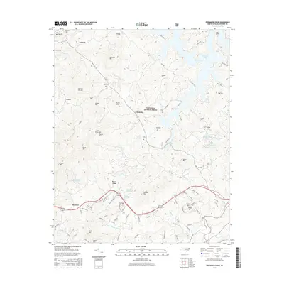
2016 Map of Persimmon Creek
USGS Topo · Published 2016About this map
Fields of the Wood, a prominent biblical theme park and landmark, occupies the northwestern corner of this territory where the Appalachian foothills meet the waters of Hiwassee Lake. The landscape is defined by the high ridges of the Nantahal National Forest, including Chestnut Gap Mtn and Ghormley Mtn, which frame narrow valleys where small settlements like Postell, Vests, and Hothouse took root. The mapping of numerous family burial grounds, such as Suit Cem, Kirkland Cem, and Allen Cem, provides a detailed record of the generational presence in these mountain hollows.
Find a feature on this map
110 named features on this map. Tap any name to fly to it.
Don’t see what you’re looking for? This feature index may not catch every label — zoom into the map to look around manually.
Map Details
Editions of this 2016 Persimmon Creek Map
This is the sole edition of this map. No revisions or reprints were ever made.
Other maps of this area

1888 · Ellijay
USGS Topo · 1:125,000

1892 · Ellijay
USGS Topo · 1:125,000

1893 · Murphy
USGS Topo · 1:125,000

1898 · Ellijay
USGS Topo · 1:125,000

1911 · Ellijay
USGS Topo · 1:125,000

1914 · Murphy
USGS Topo · 1:125,000

1934 · Murphy
USGS Topo · 1:24,000

1934 · Persimmon Creek
USGS Topo · 1:24,000

1934 · McDaniel Bald
USGS Topo · 1:24,000

1934 · Unaka
USGS Topo · 1:24,000