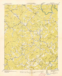
1934 Map of Persimmon Creek
USGS Topo · Published 1934About this map
Ghormley Mountain and Hibbard Mountain define the high terrain of this 1934 survey, where small agricultural communities are scattered across the Shoal Creek, Hot House, and Notla districts. Life here centered on local landmarks like Friendship Ch and the nearby Old Friendship Cem, while the valley floors were served by institutions like the Shoal Creek Sch and Sunny Point Sch.
Find a feature on this map
66 named features on this map. Tap any name to fly to it.
Don’t see what you’re looking for? This feature index may not catch every label — zoom into the map to look around manually.
Map Details
Editions of this 1934 Persimmon Creek Map
This is the sole edition of this map. No revisions or reprints were ever made.
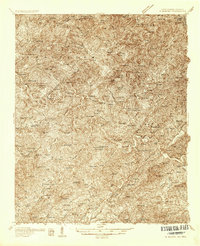
Other maps of this area

1888 · Ellijay
USGS Topo · 1:125,000

1892 · Ellijay
USGS Topo · 1:125,000

1893 · Murphy
USGS Topo · 1:125,000

1898 · Ellijay
USGS Topo · 1:125,000

1911 · Ellijay
USGS Topo · 1:125,000

1914 · Murphy
USGS Topo · 1:125,000
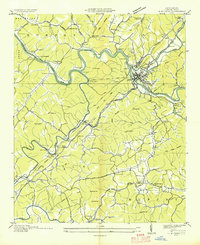
1934 · Murphy
USGS Topo · 1:24,000

1934 · McDaniel Bald
USGS Topo · 1:24,000

1934 · Unaka
USGS Topo · 1:24,000
1934 · Murphy
USGS Topo · 1:48,000