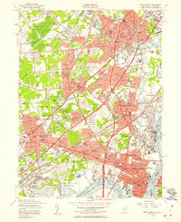
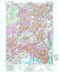
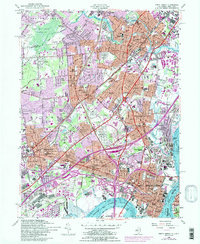
1956 Map of Perth Amboy
USGS Topo · Published 1958About this map
Ash Brook Swamp Reservation and the sprawling U S Military Reservation Raritan Arsenal anchor the northern and southern reaches of this landscape during a period of intense mid-century suburbanization. The map documents the intricate web of infrastructure connecting Perth Amboy and Metuchen, featuring the Garden State Parkway and New Jersey Turnpike as they cut through established neighborhoods like Fords and Colonia. This era represents the peak of industrial and transit density for the region, where the Raritan River and Arthur Kill waterfronts are dominated by rail yards and brick kilns.
Find a feature on this map
130 named features on this map. Tap any name to fly to it.
Don’t see what you’re looking for? This feature index may not catch every label — zoom into the map to look around manually.
Map Details
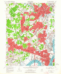
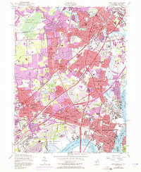
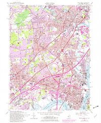
Editions of this 1956 Perth Amboy Map
6 editions found
Other maps of this area

1888 · Plainfield
USGS Topo · 1:62,500

1888 · New Brunswick
USGS Topo · 1:62,500

1888 · Sandy Hook
USGS Topo · 1:62,500

1893 · New Brunswick
USGS Topo · 1:62,500

1893 · Plainfield
USGS Topo · 1:62,500

1893 · Sandy Hook
USGS Topo · 1:62,500

1898 · Plainfield
USGS Topo · 1:62,500

1898 · Staten Island
USGS Topo · 1:62,500

1900 · Passaic
USGS Topo · 1:125,000

1900 · Staten Island
USGS Topo · 1:62,500