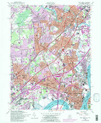
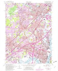
1956 Map of Perth Amboy
USGS Topo · Published 1986About this map
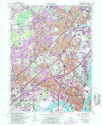
Perth Amboy and the surrounding Middlesex County industrial corridor appear here during a period of intense post-war expansion. The landscape is defined by the convergence of major infrastructure, with the Garden State Parkway and New Jersey Turnpike slicing through established communities like Woodbridge and Iselin. This 1956 edition, with revisions from 1979 aerial photography, captures the transition of former marshlands and estates into dense suburban and industrial zones. Notable landmarks include the Edison Memorial Tower in Edison and the extensive Raritan Arsenal along the Raritan River. The map meticulously details the religious and civic infrastructure of the era, from the numerous numbered schools to several burial grounds such as Beth Israel Memorial Park and Hazelwood Cemetery. The industrial character of the Arthur Kill shoreline is evident in the rail spurs and complex of docks serving Maurer and Sewaren.
Find a feature on this map
110 named features on this map. Tap any name to fly to it.
Don’t see what you’re looking for? This feature index may not catch every label — zoom into the map to look around manually.
Map Details
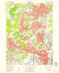
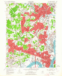
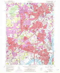
Editions of this 1956 Perth Amboy Map
6 editions found
Other maps of this area

1888 · Plainfield
USGS Topo · 1:62,500

1888 · New Brunswick
USGS Topo · 1:62,500

1888 · Sandy Hook
USGS Topo · 1:62,500

1893 · New Brunswick
USGS Topo · 1:62,500

1893 · Plainfield
USGS Topo · 1:62,500

1893 · Sandy Hook
USGS Topo · 1:62,500

1898 · Plainfield
USGS Topo · 1:62,500

1898 · Staten Island
USGS Topo · 1:62,500

1900 · Passaic
USGS Topo · 1:125,000

1900 · Staten Island
USGS Topo · 1:62,500