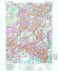
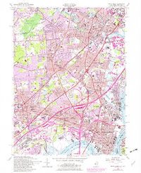
1956 Map of Perth Amboy
USGS Topo · Published 1986About this map
The Raritan Arsenal and the Edison Memorial Tower stand as prominent landmarks in this industrial and residential landscape of northern Middlesex County. By the mid-1950s, the region was characterized by a dense network of transportation and manufacturing, anchored by the massive waterfront operations along the Arthur Kill and Raritan River. Large-scale infrastructure projects like the New Jersey Turnpike and Garden State Parkway carve through established communities such as Perth Amboy, Rahway, and Metuchen, reflecting the era's post-war suburban and industrial expansion.
Find a feature on this map
120 named features on this map. Tap any name to fly to it.
Don’t see what you’re looking for? This feature index may not catch every label — zoom into the map to look around manually.
Map Details
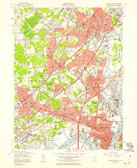
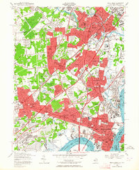
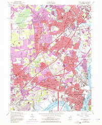
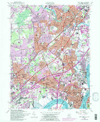
Editions of this 1956 Perth Amboy Map
6 editions found
Other maps of this area

1888 · Plainfield
USGS Topo · 1:62,500

1888 · New Brunswick
USGS Topo · 1:62,500

1888 · Sandy Hook
USGS Topo · 1:62,500

1893 · New Brunswick
USGS Topo · 1:62,500

1893 · Plainfield
USGS Topo · 1:62,500

1893 · Sandy Hook
USGS Topo · 1:62,500

1898 · Plainfield
USGS Topo · 1:62,500

1898 · Staten Island
USGS Topo · 1:62,500

1900 · Passaic
USGS Topo · 1:125,000

1900 · Staten Island
USGS Topo · 1:62,500