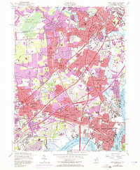
1956 Map of Perth Amboy
USGS Topo · Published 1972About this map
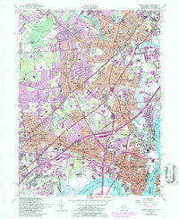
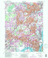
Industrial corridors and suburban expansion define the landscape between Perth Amboy and Scotch Plains during this mid-century period. The map reveals a high-density transport network where the New Jersey Turnpike and Garden State Parkway intersect established rail lines like the Central RR of New Jersey. Along the Arthur Kill, the heavy industrial footprint is evident in the Maurer and Sewaren neighborhoods, contrasted by the specialized facilities of the State Home for Disabled Veterans and the U S Military Reservation Raritan Arsenal.
Find a feature on this map
103 named features on this map. Tap any name to fly to it.
Don’t see what you’re looking for? This feature index may not catch every label — zoom into the map to look around manually.
Map Details
Editions of this 1956 Perth Amboy Map
6 editions found
Other maps of this area

1888 · Plainfield
USGS Topo · 1:62,500

1888 · New Brunswick
USGS Topo · 1:62,500

1888 · Sandy Hook
USGS Topo · 1:62,500

1893 · New Brunswick
USGS Topo · 1:62,500

1893 · Plainfield
USGS Topo · 1:62,500

1893 · Sandy Hook
USGS Topo · 1:62,500

1898 · Plainfield
USGS Topo · 1:62,500

1898 · Staten Island
USGS Topo · 1:62,500

1900 · Passaic
USGS Topo · 1:125,000

1900 · Staten Island
USGS Topo · 1:62,500