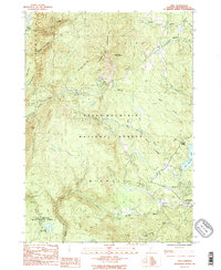
1986 Map of Peru
USGS Topo · Published 1987About this map
Bromley Mountain and Dorset Mountain dominate this mid-1980s landscape, providing a high-relief backdrop to the small villages and protected forest lands of Bennington County. The survey illustrates the intersection of recreation and wilderness, featuring the Long Trail Appalachian Trail as it winds through the Green Mountain National Forest and the Lye Brook Wilderness Area. Settlement is concentrated in the small communities of Peru, Bondville, and East Dorset, while the surrounding terrain is defined by a dense network of watercourses including the Winhall River, Mad Tom Brook, and French Hollow Brook. A notable land-use contrast exists between the preserved wilderness and local infrastructure, such as the Landing Field and Gravel Pits located near the valley floors. These features reflect the dual nature of the region as both a protected natural resource and a site for localized resource extraction and small-scale aviation during this period.
Find a feature on this map
31 named features on this map. Tap any name to fly to it.
Don’t see what you’re looking for? This feature index may not catch every label — zoom into the map to look around manually.
Map Details
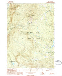
Editions of this 1986 Peru Map
2 editions found
Other maps of this area

1893 · Wallingford
USGS Topo · 1:62,500

1894 · Londonderry
USGS Topo · 1:62,500

1894 · Pawlet
USGS Topo · 1:62,500

1894 · Equinox
USGS Topo · 1:62,500

1896 · Equinox
USGS Topo · 1:62,500

1897 · Pawlet
USGS Topo · 1:62,500

1899 · Londonderry
USGS Topo · 1:62,500

1900 · Equinox
USGS Topo · 1:62,500

1903 · Mettawee
USGS Topo · 1:125,000

1950 · Glens Falls
USGS Topo · 1:250,000