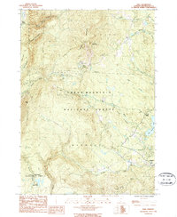
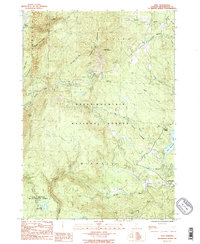
1986 Map of Peru
USGS Topo · Published 1987About this map
Bromley Mountain and the high ridges of the Green Mountains dominate this mid-1980s landscape, which is heavily shaped by large protected tracts including the Hapgood State Forest and the Lye Brook Wilderness Area. The mapping shows the Long Appalachian Trail winding through the high country, a testament to the region's enduring character as a recreational and conservation hub.
Find a feature on this map
30 named features on this map. Tap any name to fly to it.
Don’t see what you’re looking for? This feature index may not catch every label — zoom into the map to look around manually.
Map Details
Editions of this 1986 Peru Map
2 editions found
Other maps of this area

1893 · Wallingford
USGS Topo · 1:62,500

1894 · Londonderry
USGS Topo · 1:62,500

1894 · Pawlet
USGS Topo · 1:62,500

1894 · Equinox
USGS Topo · 1:62,500

1896 · Equinox
USGS Topo · 1:62,500

1897 · Pawlet
USGS Topo · 1:62,500

1899 · Londonderry
USGS Topo · 1:62,500

1900 · Equinox
USGS Topo · 1:62,500

1903 · Mettawee
USGS Topo · 1:125,000

1950 · Glens Falls
USGS Topo · 1:250,000