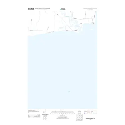
2013 Map of Peshtigo Harbor
USGS Topo · Published 2013About this map
The Peshtigo River meanders toward its mouth at Lake Michigan on this Marinette County coastal survey. The landscape is defined by the river's complex outlet and the wetlands of Dyers Slough, which are navigable by small roads and the Slough Bridge. While much of the quadrangle is submerged, the terrestrial portion shows the transition of the shoreline near Peshtigo Point. Local access is maintained through a network of rural connectors including Harbor Rd and Co Hwy-BB, serving a region where the water has long dictated the patterns of transportation and recreation. The proximity of Shore Dr to the coast suggests a long-standing relationship between the community and the bay's edge.
Find a feature on this map
14 named features on this map. Tap any name to fly to it.
Don’t see what you’re looking for? This feature index may not catch every label — zoom into the map to look around manually.
Map Details
Editions of this 2013 Peshtigo Harbor Map
This is the sole edition of this map. No revisions or reprints were ever made.
Other maps of this area

1939 · Marinette
USGS Topo · 1:48,000

1939 · Porterfield
USGS Topo · 1:48,000

1942 · Porterfield
USGS Topo · 1:48,000

1954 · Escanaba
USGS Topo · 1:250,000

1954 · Manitowoc
USGS Topo · 1:250,000

1956 · Oconto
USGS Topo · 1:62,500

1957 · Escanaba
USGS Topo · 1:250,000

1958 · Escanaba
USGS Topo · 1:250,000

1958 · Manitowoc
USGS Topo · 1:250,000

1961 · Little Sturgeon
USGS Topo · 1:62,500