Loading...
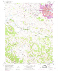
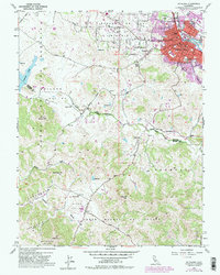
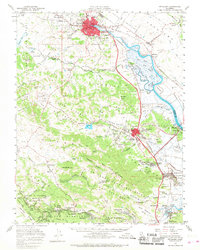
Loading map...1954 Map of Petaluma
USGS Topo · Published 1969About this map
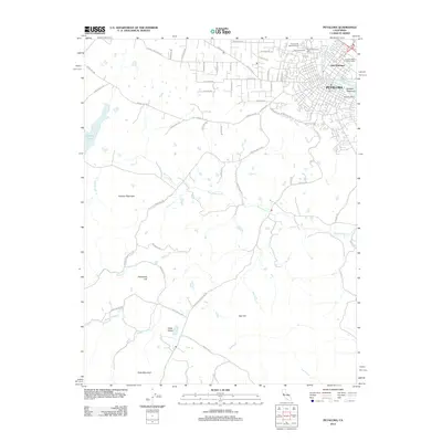
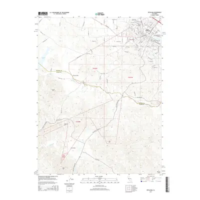
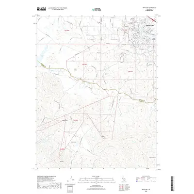
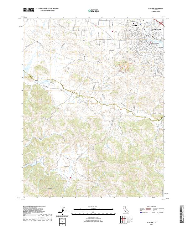
Petaluma serves as the focal point of this coastal California study, where the Petaluma River and Northwestern Pacific railroad corridor dictate the settlement's early layout. The map documents the city's growth alongside educational landmarks like McNear Sch and St Vincents Sch. Beyond the urban core, the landscape transitions into the expansive ranchos of the 19th-century land grant era, including Roblar de la Miseria and Corte Madera de Novato.
Find a feature on this map
41 named features on this map. Tap any name to fly to it.
Don’t see what you’re looking for? This feature index may not catch every label — zoom into the map to look around manually.
Map Details
Date Portrayed1954
Date Published1969
PublisherU.S. Geological Survey
Map TypeTopographic
Scale1:24,000
Physical Dimensions22 x 26.9 inches
Editions of this 1954 Petaluma Map
This is the sole edition of this map. No revisions or reprints were ever made.
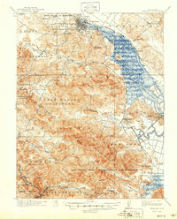
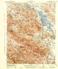
Historical Maps of Petaluma Through Time
9 maps found
Featured Locations
Source Details
SourceU.S. Geological Survey
CopyrightPublic Domain