1954 Map of Petaluma
USGS Topo · Published 1968About this map
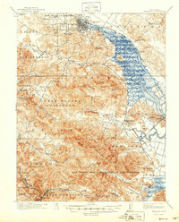
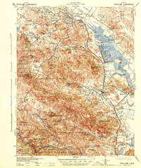
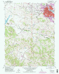
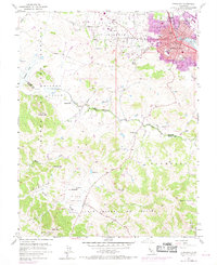
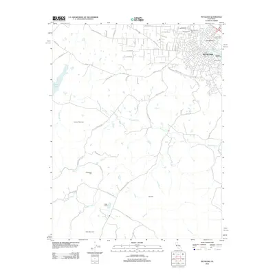
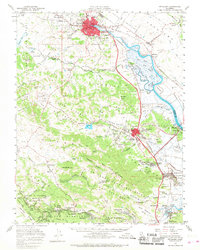
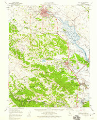
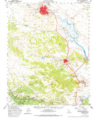
Petaluma and the northern reaches of Marin County are captured here in the mid-1950s, centered on the complex drainage of the Petaluma River and its labyrinth of tidal channels like Schultz Slough and Donahue Slough. The landscape transitions from the agricultural valleys near Nicasio to the developed military grounds of Hamilton Air Force Base in the southeast. This survey documents the post-war footprint of towns such as Novato and Ignacio before significant suburban expansion, while the Northwestern Pacific railroad remains a dominant industrial artery following the river's edge.
Find a feature on this map
101 named features on this map. Tap any name to fly to it.
Don’t see what you’re looking for? This feature index may not catch every label — zoom into the map to look around manually.
Map Details
Editions of this 1954 Petaluma Map
3 editions found
Historical Maps of Petaluma Through Time
9 maps found