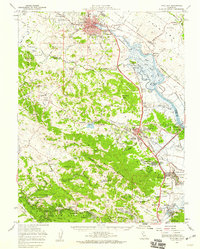
1954 Map of Petaluma
USGS Topo · Published 1959About this map
Petaluma and the surrounding marshlands of the Petaluma River are central to this mid-century survey, showcasing a landscape transitioning from rural agricultural tracts to early suburban development. The Northwestern Pacific railroad corridor serves as the primary spine for industry and transit, connecting northern settlements like McNear and Haystack to the growing community of Novato in the south. The presence of Hamilton Air Force Base near the shores of San Pablo Bay highlights the region's mid-century military importance, while the dense concentration of schools such as Iowa School, Wilson Sch, and Lagunitas District School reflects the established network of smaller rural school districts that once served these valley communities.
Find a feature on this map
99 named features on this map. Tap any name to fly to it.
Don’t see what you’re looking for? This feature index may not catch every label — zoom into the map to look around manually.
Map Details
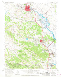
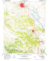
Editions of this 1954 Petaluma Map
3 editions found
Other maps of this area

1895 · San Francisco
USGS Topo · 1:62,500

1897 · Tamalpais
USGS Topo · 1:62,500

1899 · San Francisco
USGS Topo · 1:62,500

1902 · Napa
USGS Topo · 1:125,000

1914 · Petaluma
USGS Topo · 1:62,500

1915 · San Francisco
USGS Topo · 1:62,500

1916 · Mare Island
USGS Topo · 1:62,500

1916 · Santa Rosa
USGS Topo · 1:62,500

1916 · Point Reyes
USGS Topo · 1:48,000

1918 · Point Reyes
USGS Topo · 1:62,500