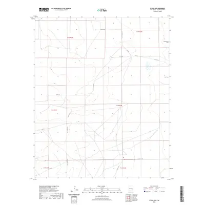
2020 Map of Peters Lake
USGS Topo · Published 2020About this map
Peters Lake sits at the center of this arid Chaves County landscape, surrounded by a complex network of ranch and access roads that define the region's modern land use. The terrain is characterized by subtle elevation changes and seasonal watercourses, most notably Thirteenmile Draw and Zubi Draw. These drainages represent the primary natural drainage patterns in an area largely dominated by large-scale land divisions, including t12s r23e and t13s r24e.
Find a feature on this map
21 named features on this map. Tap any name to fly to it.
Don’t see what you’re looking for? This feature index may not catch every label — zoom into the map to look around manually.
Map Details
Editions of this 2020 Peters Lake Map
This is the sole edition of this map. No revisions or reprints were ever made.
Other maps of this area

1949 · Hondo Reservoir
USGS Topo · 1:24,000

1949 · Peters Lake
USGS Topo · 1:24,000

1949 · Roswell South
USGS Topo · 1:24,000

1949 · Juan Lake
USGS Topo · 1:24,000

1950 · Dexter West
USGS Topo · 1:24,000

1950 · South Spring
USGS Topo · 1:24,000

1952 · Hagerman SW
USGS Topo · 1:24,000

1955 · Hackberry Ranch
USGS Topo · 1:24,000

1955 · Kincaid Ranch
USGS Topo · 1:24,000

1955 · Roswell
USGS Topo · 1:250,000