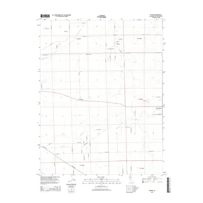
2015 Map of Peters
USGS Topo · Published 2015About this map
Peters and Farmington serve as the primary hubs for this agricultural region in San Joaquin County, where a system of sloughs and creeks dictates the landscape's rhythm. The northern reach is defined by Mormon Slough, while Duck Cr and Littlejohns Cr meander across the central and southern sections, creating natural corridors that cut through the grid-like township and range boundaries. The area is intersected by historic transit routes including Copperopolis Rd, which connects the small settlements to the wider valley interior.
Find a feature on this map
54 named features on this map. Tap any name to fly to it.
Don’t see what you’re looking for? This feature index may not catch every label — zoom into the map to look around manually.
Map Details
Editions of this 2015 Peters Map
This is the sole edition of this map. No revisions or reprints were ever made.
Other maps of this area

1889 · Jackson
USGS Topo · 1:125,000

1892 · Jackson
USGS Topo · 1:125,000

1894 · Lodi
USGS Topo · 1:125,000

1897 · Jackson
USGS Topo · 1:125,000

1902 · Jackson
USGS Topo · 1:125,000

1908 · Waterloo
USGS Topo · 1:31,680

1908 · Linden
USGS Topo · 1:31,680

1914 · Burnham
USGS Topo · 1:31,680

1914 · Manteca
USGS Topo · 1:31,680

1914 · Avena
USGS Topo · 1:31,680