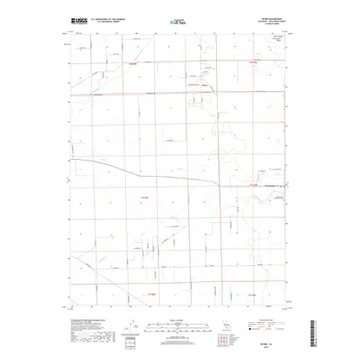
2018 Map of Peters
USGS Topo · Published 2018About this map
The agricultural landscape of the Central Valley dominates this 2018 survey of San Joaquin County, defined by a rigid grid of rural roads and seasonal watercourses. The small settlement of Peters sits at the intersection of Peters Rd and Copperopolis Rd, while the community of Farmington anchors the eastern edge of the map near the J-B Airport. The terrain is shaped by the meandering paths of Mormon Slough, Duck Cr, and Littlejohns Cr, which cut through the low-lying plains. Local history is preserved in the naming of rural thoroughfares such as Vincent Rd and Dietrich Rd, reflecting family landholdings in the San Joaquin Valley. On the southern outskirts of Farmington, the Highland View Memorial Gardens serves as a significant local landmark amidst the sprawling fields.
Find a feature on this map
55 named features on this map. Tap any name to fly to it.
Don’t see what you’re looking for? This feature index may not catch every label — zoom into the map to look around manually.
Map Details
Editions of this 2018 Peters Map
This is the sole edition of this map. No revisions or reprints were ever made.
Other maps of this area

1889 · Jackson
USGS Topo · 1:125,000

1892 · Jackson
USGS Topo · 1:125,000

1894 · Lodi
USGS Topo · 1:125,000

1897 · Jackson
USGS Topo · 1:125,000

1902 · Jackson
USGS Topo · 1:125,000

1908 · Waterloo
USGS Topo · 1:31,680

1908 · Linden
USGS Topo · 1:31,680

1914 · Burnham
USGS Topo · 1:31,680

1914 · Manteca
USGS Topo · 1:31,680

1914 · Avena
USGS Topo · 1:31,680