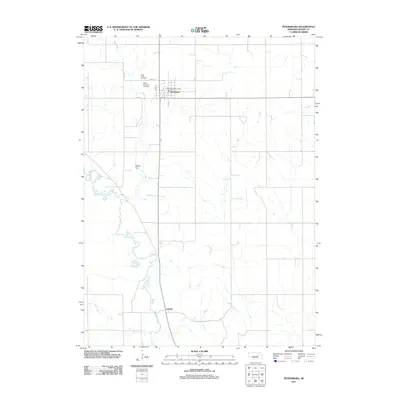
2011 Map of Petersburg
USGS Topo · Published 2011About this map
Petersburg anchors the northern portion of this Boone County landscape, situated where the local road network converges around the Petersburg Post Office. The town’s history and community heritage are anchored by Saint Johns Cemetery and Mount Pleasant Cemetery to the west, providing clear markers for genealogical research. To the south, the settlement of Loretto marks a secondary point of activity near the map's southern border.
Find a feature on this map
11 named features on this map. Tap any name to fly to it.
Don’t see what you’re looking for? This feature index may not catch every label — zoom into the map to look around manually.
Map Details
Editions of this 2011 Petersburg Map
This is the sole edition of this map. No revisions or reprints were ever made.
Other maps of this area

1954 · Akron
USGS Topo · 1:24,000

1954 · Albion West
USGS Topo · 1:24,000

1955 · Broken Bow
USGS Topo · 1:250,000

1955 · Fremont
USGS Topo · 1:250,000

1956 · Broken Bow
USGS Topo · 1:250,000

1957 · Fremont
USGS Topo · 1:250,000

1958 · Fremont
USGS Topo · 1:250,000

1958 · Albion East
USGS Topo · 1:24,000

1963 · Petersburg
USGS Topo · 1:24,000

1963 · Closter SW
USGS Topo · 1:24,000