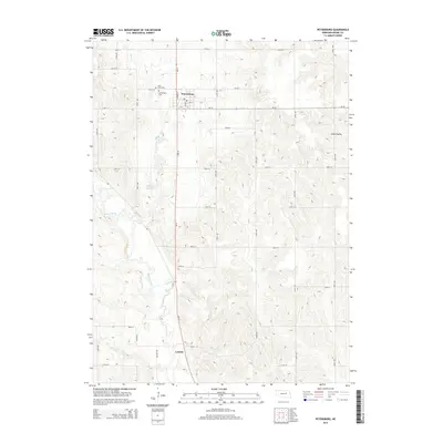
2014 Map of Petersburg
USGS Topo · Published 2014About this map
Petersburg and the smaller settlement of Loretto anchor this portion of Boone County, situated along the north-south corridor of Ne-14. The landscape is defined by the drainage patterns of Beaver Creek and Rae Cr, which carve through the undulating terrain of O'Neil Valley. This 2014 survey illustrates the intersection of rural agriculture and local community history, with the Spieker Reservoir providing a key water management feature for the surrounding prairie. For those documenting local families, the map provides exact placements for Saint Johns Cem and Mt Pleasant Cem just north of the Petersburg town center. The rigid grid of section-line roads, such as 140th ST and 220th Ave, reveals the enduring spatial organization of Nebraska's farming heartland, where modern infrastructure follows century-old property boundaries.
Find a feature on this map
33 named features on this map. Tap any name to fly to it.
Don’t see what you’re looking for? This feature index may not catch every label — zoom into the map to look around manually.
Map Details
Editions of this 2014 Petersburg Map
This is the sole edition of this map. No revisions or reprints were ever made.
Other maps of this area

1954 · Akron
USGS Topo · 1:24,000

1954 · Albion West
USGS Topo · 1:24,000

1955 · Broken Bow
USGS Topo · 1:250,000

1955 · Fremont
USGS Topo · 1:250,000

1956 · Broken Bow
USGS Topo · 1:250,000

1957 · Fremont
USGS Topo · 1:250,000

1958 · Fremont
USGS Topo · 1:250,000

1958 · Albion East
USGS Topo · 1:24,000

1963 · Petersburg
USGS Topo · 1:24,000

1963 · Closter SW
USGS Topo · 1:24,000