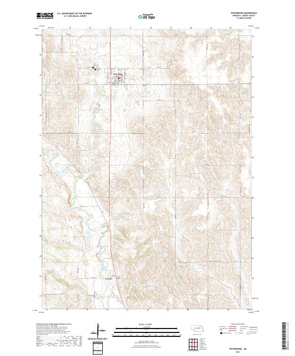
2021 Map of Petersburg
USGS Topo · Published 2021About this map
Petersburg anchors this section of the northern Great Plains, serving as a concentrated grid of activity north of Loretto. The landscape is defined by the winding course of Beaver Creek and its tributary Rae Cr, which carve through the undulating terrain leading toward O'Neill Valley in the northeast. This 2021 study reveals a highly structured rural environment where section lines dictate the road network, from 130th St down to 210th St. Local history and genealogy interests are centered on the Saint Johns Cem and Mount Pleasant Cem, both located just west of the main settlement. The presence of Old Mill Rd near Loretto points to the early water-powered industry that once supported these farming communities.
Find a feature on this map
43 named features on this map. Tap any name to fly to it.
Don’t see what you’re looking for? This feature index may not catch every label — zoom into the map to look around manually.
Map Details
Editions of this 2021 Petersburg Map
This is the sole edition of this map. No revisions or reprints were ever made.
Other maps of this area

1954 · Akron
USGS Topo · 1:24,000

1954 · Albion West
USGS Topo · 1:24,000

1955 · Broken Bow
USGS Topo · 1:250,000

1955 · Fremont
USGS Topo · 1:250,000

1956 · Broken Bow
USGS Topo · 1:250,000

1957 · Fremont
USGS Topo · 1:250,000

1958 · Fremont
USGS Topo · 1:250,000

1958 · Albion East
USGS Topo · 1:24,000

1963 · Petersburg
USGS Topo · 1:24,000

1963 · Closter SW
USGS Topo · 1:24,000