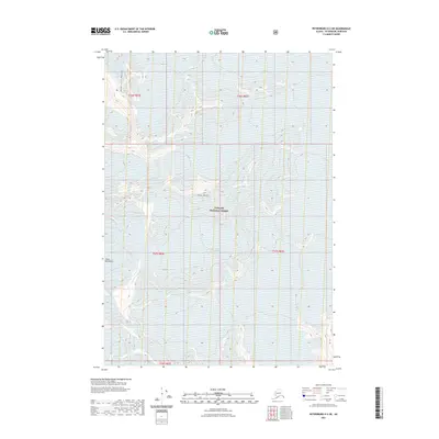
2021 Map of Petersburg D-2 NE
USGS Topo · Published 2021About this map
Patterson Glacier and LeConte Glacier dominate this high-altitude Alaskan landscape, where the shifting boundaries of ice meet the stony reaches of the Coast Mountains. This survey captures the interior wilderness of the Tongass National Forest as it appeared in 2021, documenting a terrain defined by massive ice fields and the high summits of the Admiral Range. The central prominence of Twin Peaks provides a geographical anchor for a region where natural drainage and glacial movement are the primary forces of change. For researchers and geologists, this map provides precise topographic data on glacier extents and mountain elevations, tracing the delicate interface between permanent ice and the surrounding forest ecology.
Find a feature on this map
11 named features on this map. Tap any name to fly to it.
Don’t see what you’re looking for? This feature index may not catch every label — zoom into the map to look around manually.
Map Details
Editions of this 2021 Petersburg D-2 NE Map
This is the sole edition of this map. No revisions or reprints were ever made.
Other maps of this area

1952 · Petersburg
USGS Topo · 1:250,000

1952 · Sumdum
USGS Topo · 1:250,000

1960 · Petersburg
USGS Topo · 1:250,000

1960 · Sumdum A-1
USGS Topo · 1:63,360

1961 · Sumdum A-2
USGS Topo · 1:63,360

1961 · Petersburg D-1
USGS Topo · 1:63,360

1961 · Petersburg D-2
USGS Topo · 1:63,360

1961 · Sumdum
USGS Topo · 1:250,000

1994 · Petersburg D-2
USGS Topo · 1:63,360
2000 · Petersburg D-1
USGS Topo · 1:63,360