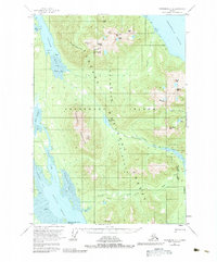
1951 Map of Petersburg D-4
USGS Topo · Published 1983About this map
Kupreanof Island is dominated by the massive Lindenberg Peninsula, a landscape defined by dramatic relief and tidal waterways. Located within the Tongass National Forest, the region shows a rugged interior punctuated by the Missionary Range and high points such as Lockwood Peak and Scott Peak. Coastal activity is concentrated around Portage Bay and the sheltered waters of Duncan Canal, where Harrington Rk and Stop I mark the maritime approaches.
Find a feature on this map
48 named features on this map. Tap any name to fly to it.
Don’t see what you’re looking for? This feature index may not catch every label — zoom into the map to look around manually.
Map Details
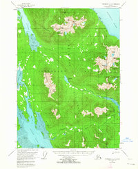
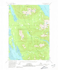
Editions of this 1951 Petersburg D-4 Map
4 editions found
Other maps of this area

1948 · Sumdum A-4
USGS Topo · 1:63,360

1948 · Sumdum A-5
USGS Topo · 1:63,360

1948 · Petersburg C-4
USGS Topo · 1:63,360

1948 · Petersburg C-3
USGS Topo · 1:63,360

1948 · Petersburg C-5
USGS Topo · 1:63,360

1948 · Petersburg D-5
USGS Topo · 1:63,360

1951 · Petersburg D-4
USGS Topo · 1:63,360

1951 · Petersburg C-4
USGS Topo · 1:63,360

1951 · Sumdum A-4
USGS Topo · 1:63,360

1951 · Petersburg C-5
USGS Topo · 1:63,360