
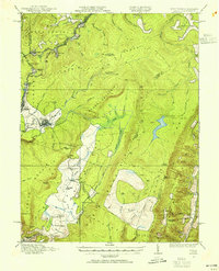
1921 Map of Petersburg
USGS Topo · Published 1921About this map
Petersburg sits at the confluence of the South Branch Potomac River and its southern fork, serving as a hub for the Baltimore and Ohio railroad during the early 1920s. This survey, conducted by topographic engineers like C. H. Birdseye, reveals a landscape defined by sharp ridges and narrow valleys where social life centered on an exceptionally dense network of mountain schools and churches. Names like Mountain Dale School, Judy School, and South Mill Creek Church mark small communities tucked into the folds of South Mountain and Mill Creek Mountain. The southern portion of the sheet transitions into the Shenandoah National Forest, where the terrain becomes increasingly complex. For historians, the map preserves the location of numerous rural institutions that preceded modern consolidation, such as the Bergdoll School and Zion Church, located along the winding course of the South Fork Potomac River.
Find a feature on this map
75 named features on this map. Tap any name to fly to it.
Don’t see what you’re looking for? This feature index may not catch every label — zoom into the map to look around manually.
Map Details
Editions of this 1921 Petersburg Map
This is the sole edition of this map. No revisions or reprints were ever made.
Other maps of this area

1891 · Romney
USGS Topo · 1:125,000

1892 · Franklin
USGS Topo · 1:125,000

1892 · Woodstock
USGS Topo · 1:125,000

1895 · Piedmont
USGS Topo · 1:125,000

1896 · Franklin
USGS Topo · 1:125,000

1916 · Davis
USGS Topo · 1:48,000

1918 · Davis
USGS Topo · 1:62,500
1919 · Davis
USGS Topo · 1:62,500
1920 · Davis
USGS Topo · 1:48,000

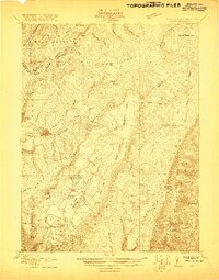
1920 · Petersburg
USGS Topo · 1:48,000