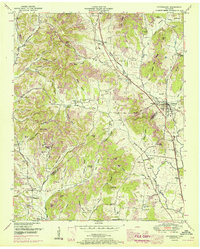
1951 Map of Petersburg
USGS Topo · Published 1967About this map
Petersburg sits at the intersection of the Marshall and Lincoln County line, serving as a focal point for this agrarian landscape in the mid-20th century. The Nashville Chattanooga & St Louis railroad tracks cut through the eastern hills, connecting local farms to broader markets. The topography is defined by a dense network of named hollows and hills, such as California Hollow and Welch Hill, which dictate the placement of small settlements and family farms.
Find a feature on this map
120 named features on this map. Tap any name to fly to it.
Don’t see what you’re looking for? This feature index may not catch every label — zoom into the map to look around manually.
Map Details
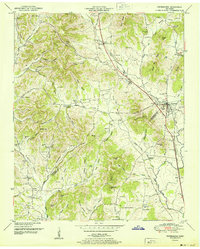
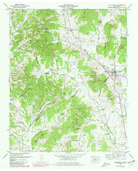
Editions of this 1951 Petersburg Map
3 editions found
Other maps of this area

1936 · Belfast
USGS Topo · 1:24,000

1936 · Cornersville
USGS Topo · 1:24,000

1936 · Lewisburg
USGS Topo · 1:24,000

1936 · Belleville
USGS Topo · 1:24,000

1936 · Boonshill
USGS Topo · 1:24,000

1936 · Petersburg
USGS Topo · 1:24,000

1936 · Bedford
USGS Topo · 1:24,000

1936 · Frankewing
USGS Topo · 1:24,000

1936 · Fayetteville
USGS Topo · 1:24,000

1944 · Shelbyville
USGS Topo · 1:100,000