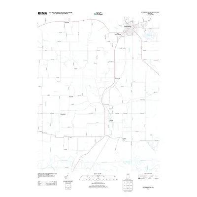
2013 Map of Petersburg
USGS Topo · Published 2013About this map
The Patoka River winds along the southern edge of this Pike County landscape, anchoring a terrain defined by small rural settlements and industrious transport corridors. Petersburg serves as the primary hub, its street grid extending south toward West Petersburg and the extensive tracks of Ashby Yards. The map documents a patchwork of agricultural land and managed resources, evidenced by naming conventions like Private Coal Rd, which hints at the region's extractive history.
Find a feature on this map
50 named features on this map. Tap any name to fly to it.
Don’t see what you’re looking for? This feature index may not catch every label — zoom into the map to look around manually.
Map Details
Editions of this 2013 Petersburg Map
This is the sole edition of this map. No revisions or reprints were ever made.
Other maps of this area

1902 · Ditney
USGS Topo · 1:125,000

1903 · Velpen
USGS Topo · 1:62,500

1903 · Petersburg
USGS Topo · 1:62,500

1944 · Monroe City
USGS Topo · 1:24,000

1944 · Iona
USGS Topo · 1:24,000

1945 · Sandy Hook
USGS Topo · 1:24,000

1956 · Vincennes
USGS Topo · 1:250,000

1957 · Vincennes
USGS Topo · 1:250,000

1958 · Vincennes
USGS Topo · 1:250,000
1958 · Monroe City
USGS Topo · 1:24,000