2022 Map of Petersburg
USGS Topo · Published 2022About this map
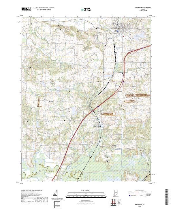
The Pike County Courthouse stands as the central landmark of Petersburg, anchoring a landscape where the Patoka River and its expansive wetlands shape the southern border. This map reveals a complex network of small rural settlements including Willisville, Glezen, and Littles, each connected by a dense grid of county roads. The area's ancestral history is remarkably well-preserved through numerous family and community burial grounds, such as Indian Mound Cem, Old Town Cem, and Weathers Cem. Industrial and transport patterns are evident in features like the Ashby Yards and specialized thoroughfares like PVT Coal RD. From the waters of Prides Creek Lake to the scattered ponds like Globe Pond, the terrain illustrates a managed relationship between agricultural land and the natural river valley at the Pike and Gibson County line.
Find a feature on this map
74 named features on this map. Tap any name to fly to it.
Don’t see what you’re looking for? This feature index may not catch every label — zoom into the map to look around manually.
Map Details
Editions of this 2022 Petersburg Map
This is the sole edition of this map. No revisions or reprints were ever made.
Historical Maps of Glezen Through Time
3 maps found