
1960 Map of Petersburg
USGS Topo · Published 1966About this map
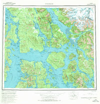
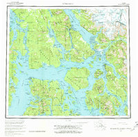
Tongass National Forest dominates the Alexander Archipelago in this mid-century look at Southeast Alaska's intricate waterways. The coastal settlements of Petersburg and Wrangell serve as the primary hubs for maritime activity, positioned near the junction of Frederick Sound and the Stikine River. The complex geography of large islands, including Kuiu Island, Kupreanof Island, and Mitkof Island, is defined by deep inlets like Duncan Canal and treacherous passages like Wrangell Narrows.
Find a feature on this map
63 named features on this map. Tap any name to fly to it.
Don’t see what you’re looking for? This feature index may not catch every label — zoom into the map to look around manually.
Map Details
Editions of this 1960 Petersburg Map
3 editions found
Other maps of this area

1948 · Sumdum A-4
USGS Topo · 1:63,360

1948 · Port Alexander C-1
USGS Topo · 1:63,360

1948 · Petersburg A-6
USGS Topo · 1:63,360

1948 · Petersburg A-1
USGS Topo · 1:63,360

1948 · Petersburg A-2
USGS Topo · 1:63,360

1948 · Port Alexander A-1
USGS Topo · 1:63,360

1948 · Sumdum A-5
USGS Topo · 1:63,360

1948 · Petersburg C-4
USGS Topo · 1:63,360

1948 · Petersburg B-6
USGS Topo · 1:63,360

1948 · Petersburg C-1
USGS Topo · 1:63,360