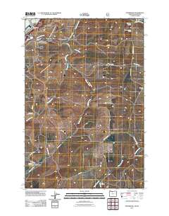
2011 Map of Petersburg
USGS Topo · Published 2011About this map
Petersburg sits at the nexus of a complex drainage system just south of the Columbia River in this 2011 survey. The landscape is defined by the diverging paths of Fifteenmile Creek, Eightmile Creek, and Fivemile Creek, which carve deep into the plateau. For genealogists, the map is particularly useful for identifying established burial grounds including Petersburg Cemetery, Eightmile Cemetery, and Rice Cemetery, which serve the local agricultural communities.
Find a feature on this map
36 named features on this map. Tap any name to fly to it.
Don’t see what you’re looking for? This feature index may not catch every label — zoom into the map to look around manually.
Map Details
Editions of this 2011 Petersburg Map
This is the sole edition of this map. No revisions or reprints were ever made.
Other maps of this area

1930 · Dufur
USGS Topo · 1:125,000

1934 · Dufur
USGS Topo · 1:125,000

1934 · The Dalles
USGS Topo · 1:125,000

1953 · The Dalles
USGS Topo · 1:250,000

1956 · The Dalles
USGS Topo · 1:250,000

1957 · The Dalles
USGS Topo · 1:250,000

1957 · The Dalles
USGS Topo · 1:62,500

1957 · Wishram
USGS Topo · 1:62,500

1962 · Summit Ridge
USGS Topo · 1:24,000

1962 · Dufur East
USGS Topo · 1:24,000