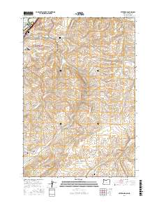
2017 Map of Petersburg
USGS Topo · Published 2017About this map
Lake Celilo and the Columbia River border define the northern edge of this high-country survey, where the landscape transitions into the canyonlands and plateaus south of The Dalles. The terrain is deeply incised by drainage systems like Fifteenmile Cr and Eightmile Cr, which flow through a network of named hollows such as Japanese Hollow and Company Hollow. This 2017 edition documents the rural infrastructure of Wasco County, recording numerous secondary roads and local routes including Emerson Loop RD and Wrentham Market RD. Genealogists will find significant value in the documentation of local burial sites, including Petersburg Cem, Eightmile Cem, and Rice Cem. Near the river, the Viewpoint Grave Island Memorial and Memaloose Island mark culturally significant landmarks overlooking the water, while the boundary of the Mount Hood National Forest touches the western reaches of the quadrangle.
Find a feature on this map
55 named features on this map. Tap any name to fly to it.
Don’t see what you’re looking for? This feature index may not catch every label — zoom into the map to look around manually.
Map Details
Editions of this 2017 Petersburg Map
This is the sole edition of this map. No revisions or reprints were ever made.
Other maps of this area

1930 · Dufur
USGS Topo · 1:125,000

1934 · Dufur
USGS Topo · 1:125,000

1934 · The Dalles
USGS Topo · 1:125,000

1953 · The Dalles
USGS Topo · 1:250,000

1956 · The Dalles
USGS Topo · 1:250,000

1957 · The Dalles
USGS Topo · 1:250,000

1957 · The Dalles
USGS Topo · 1:62,500

1957 · Wishram
USGS Topo · 1:62,500

1962 · Summit Ridge
USGS Topo · 1:24,000

1962 · Dufur East
USGS Topo · 1:24,000