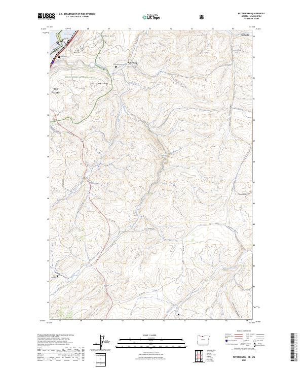
2023 Map of Petersburg
USGS Topo · Published 2023About this map
Petersburg sits atop the high ground of Wasco County, overlooking a landscape defined by deep drainages and spring-fed coulees south of the Columbia River. This modern survey illustrates the persistent agricultural and ranching patterns of the region, where roads like McCoy Rd and Emerson Loop Rd trace the contours of the plateau. The map is particularly useful for genealogical research, identifying three distinct burial sites: Petersburg Cem, Eightmile Cem, and Rice Cem. Along the northern edge, the transition to the river is marked by Lake Celilo and the dramatic Gushing Falls, while the interior terrain is broken by named features such as Japanese Hollow and Jameson Canyon. The inclusion of Island Memorial and the eastern boundary of the Mount Hood National Forest provides a clear view of how public lands and local settlements interact in this corner of Oregon.
Find a feature on this map
43 named features on this map. Tap any name to fly to it.
Don’t see what you’re looking for? This feature index may not catch every label — zoom into the map to look around manually.
Map Details
Editions of this 2023 Petersburg Map
This is the sole edition of this map. No revisions or reprints were ever made.
Other maps of this area

1930 · Dufur
USGS Topo · 1:125,000

1934 · Dufur
USGS Topo · 1:125,000

1934 · The Dalles
USGS Topo · 1:125,000

1953 · The Dalles
USGS Topo · 1:250,000

1956 · The Dalles
USGS Topo · 1:250,000

1957 · The Dalles
USGS Topo · 1:250,000

1957 · The Dalles
USGS Topo · 1:62,500

1957 · Wishram
USGS Topo · 1:62,500

1962 · Summit Ridge
USGS Topo · 1:24,000

1962 · Dufur East
USGS Topo · 1:24,000