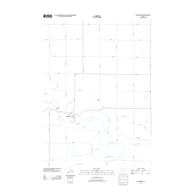
2013 Map of Peterson
USGS Topo · Published 2013About this map
Peterson sits at a sharp bend in the Little Sioux River in Clay County, serving as the primary hub for this agricultural landscape. The township is characterized by a dense grid of rural roads, such as 450th St and 120th Ave, which partition the fertile terrain between numerous creek systems. The river’s winding course is the defining geographic feature, joined by tributaries including Cottonwood Cr, Brooke Cr, and Fox Run. The presence of the Riverside - Little Sioux Access and the Bertran Camp suggests a local economy and culture tied closely to the river valley's recreational and natural resources. This survey provides a clear view of the modern rural infrastructure, where local routes like Co Hwy M27 connect the town to the surrounding farmsteads and the smaller drainages of Bluebird Cr.
Find a feature on this map
42 named features on this map. Tap any name to fly to it.
Don’t see what you’re looking for? This feature index may not catch every label — zoom into the map to look around manually.
Map Details
Editions of this 2013 Peterson Map
This is the sole edition of this map. No revisions or reprints were ever made.
Other maps of this area

1954 · Fairmont
USGS Topo · 1:250,000

1954 · Fort Dodge
USGS Topo · 1:250,000

1957 · Fort Dodge
USGS Topo · 1:250,000

1958 · Fort Dodge
USGS Topo · 1:250,000

1958 · Fairmont
USGS Topo · 1:250,000

1966 · Greenville
USGS Topo · 1:24,000

1970 · Hartley SW
USGS Topo · 1:24,000

1970 · Royal
USGS Topo · 1:24,000

1971 · Rembrandt
USGS Topo · 1:24,000

1971 · Sioux Rapids
USGS Topo · 1:24,000