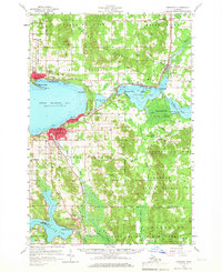
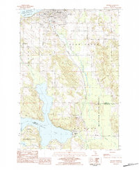
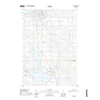
1958 Map of Petoskey
USGS Topo · Published 1966About this map
The southern shores of Little Traverse Bay define this 1958 landscape, anchored by the developed shoreline of Petoskey and the seasonal retreats of Bay View and Harbor Springs. The map illustrates a thriving mid-century resort economy, from the Harbor Highlands Ski Club to the numerous landings and points along Crooked Lake and Walloon Lake. Inland, the terrain is dominated by the Hardwood State Forest, interspersed with small rural settlements like Clarion and Conway. Transportation networks are prominent, featuring the Pennsylvania Railroad and C & O Railroad corridors that once ferried passengers to these lakeside destinations. Notable local institutions include the Mennonite Ch in the north and several country schools like Gregg Sch and Morford Sch, providing a detailed look at the social geography of Emmet County before later twentieth-century expansions.
Find a feature on this map
66 named features on this map. Tap any name to fly to it.
Don’t see what you’re looking for? This feature index may not catch every label — zoom into the map to look around manually.
Map Details
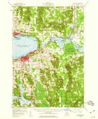
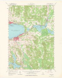
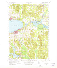
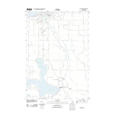
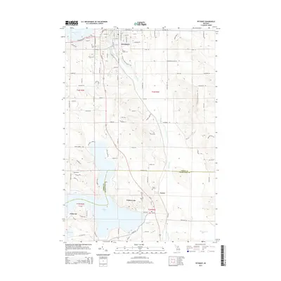
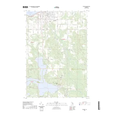
Editions of this 1958 Petoskey Map
4 editions found
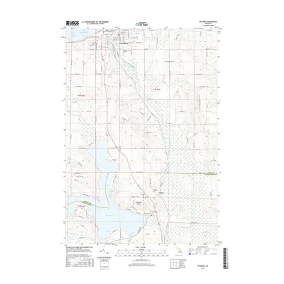
Historical Maps of Petoskey Through Time
8 maps found

Featured Locations
- Harbor Springs, MI
- Petoskey, MI
- Chandler Township, MI
- Alanson, Littlefield Township
- Oden, Littlefield Township