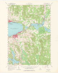
1958 Map of Petoskey
USGS Topo · Published 1966About this map
Petoskey serves as the focal point of this 1950s coastal survey, where the urban center meets the waters of Little Traverse Bay. The shoreline reveals a sequence of resort-era communities, from the seasonal character of Bay View and Menonaqua to the established streets of Harbor Springs. To the north, the landscape transitions into the heavily wooded tracts of the Hardwood State Forest, interrupted by the inland waters of Crooked Lake and Round Lake.
Find a feature on this map
70 named features on this map. Tap any name to fly to it.
Don’t see what you’re looking for? This feature index may not catch every label — zoom into the map to look around manually.
Map Details
Editions of this 1958 Petoskey Map
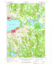
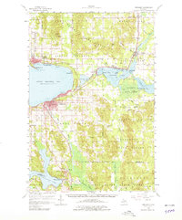
4 editions found
Other maps of this area

1954 · Gaylord
USGS Topo · 1:62,500

1955 · Cheboygan
USGS Topo · 1:250,000

1957 · Wolverine
USGS Topo · 1:62,500

1957 · Mullett Lake
USGS Topo · 1:62,500

1958 · Cheboygan
USGS Topo · 1:250,000

1958 · Cross Village
USGS Topo · 1:62,500

1958 · Pellston
USGS Topo · 1:62,500

1958 · Bayshore
USGS Topo · 1:62,500

1958 · Petoskey
USGS Topo · 1:62,500

1961 · Boyne Falls
USGS Topo · 1:62,500