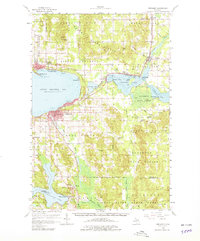
1958 Map of Petoskey
USGS Topo · Published 1979About this map
Petoskey stands as the commercial and cultural hub of the region in the late 1950s, its urban grid and lakeshore facilities serving as a gateway to the Little Traverse Bay area. Along the northern shore, the established resorts of Harbor Springs, Wequetonsing, and Bay View are clearly mapped, showing the seasonal architecture and residential patterns of this northern Michigan destination. The Pennsylvania railroad line provides the primary transportation spine, connecting lakeside settlements with the interior timberlands of the Hardwood State Forest.
Find a feature on this map
72 named features on this map. Tap any name to fly to it.
Don’t see what you’re looking for? This feature index may not catch every label — zoom into the map to look around manually.
Map Details
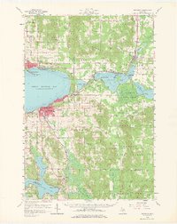
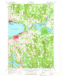
Editions of this 1958 Petoskey Map
4 editions found
Other maps of this area

1954 · Gaylord
USGS Topo · 1:62,500

1955 · Cheboygan
USGS Topo · 1:250,000

1957 · Wolverine
USGS Topo · 1:62,500

1957 · Mullett Lake
USGS Topo · 1:62,500

1958 · Cheboygan
USGS Topo · 1:250,000

1958 · Cross Village
USGS Topo · 1:62,500

1958 · Pellston
USGS Topo · 1:62,500

1958 · Bayshore
USGS Topo · 1:62,500

1958 · Petoskey
USGS Topo · 1:62,500

1961 · Boyne Falls
USGS Topo · 1:62,500