
1968 Map of Petrey
USGS Topo · Published 1971About this map
Petrey and the surrounding borderlands of Crenshaw and Pike Counties are documented in this late 1960s survey, showing a landscape defined by small rural hubs and watercourses. The network of creeks, including Patsaliga Creek and Blue Creek, feeds into marshy areas such as The Beaver Pond, indicating a low-lying, well-watered topography. Evidence of earlier transportation is preserved via the Old Railroad Grade that winds through the center of the quadrangle, reflecting an era when rail was central to local commerce. Settlements like Wingard, Patsburg, and Live Oak are anchored by social foundations such as Macedonia Church, Rockwell Church, and several family-named burial sites including Petrey Cemetery and Wingard Cemetery. The map captures the quiet transition of these agricultural communities, recording many smaller junctions like Thomas Crossroads and Joquin that served the outlying farmstead residents.
Find a feature on this map
49 named features on this map. Tap any name to fly to it.
Don’t see what you’re looking for? This feature index may not catch every label — zoom into the map to look around manually.
Map Details
Editions of this 1968 Petrey Map
This is the sole edition of this map. No revisions or reprints were ever made.
Other maps of this area

1953 · Andalusia
USGS Topo · 1:250,000

1957 · Andalusia
USGS Topo · 1:250,000
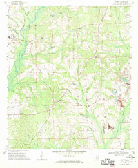
1968 · Goshen
USGS Topo · 1:24,000
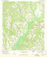
1968 · Youngblood
USGS Topo · 1:24,000

1968 · Glenwood
USGS Topo · 1:24,000
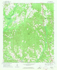
1968 · Ansley
USGS Topo · 1:24,000

1968 · Grady
USGS Topo · 1:24,000

1971 · Luverne
USGS Topo · 1:24,000

1971 · Fullers Crossroads
USGS Topo · 1:24,000
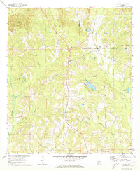
1971 · Lapine
USGS Topo · 1:24,000