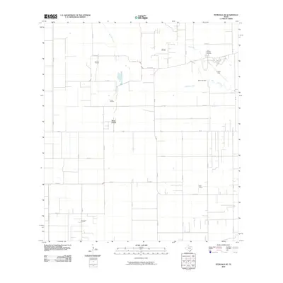
2010 Map of Petronila NE
USGS Topo · Published 2010About this map
The coastal plains of Nueces County are defined by a network of energy production and agricultural roads in this early 21st-century survey. Notable for its dense concentration of petroleum infrastructure, the landscape is dotted with the Baldwin Oil Field, Ramada Oil Field, and the North Luby Oil Field. This industrial activity is integrated into a rural grid where Tierra Grande serves as a residential pocket amidst the expansive fields.
Find a feature on this map
35 named features on this map. Tap any name to fly to it.
Don’t see what you’re looking for? This feature index may not catch every label — zoom into the map to look around manually.
Map Details
Editions of this 2010 Petronila NE Map
This is the sole edition of this map. No revisions or reprints were ever made.
Other maps of this area

1924 · Petronilla
USGS Topo · 1:62,500

1925 · Robstown
USGS Topo · 1:62,500

1925 · Oso Creek
USGS Topo · 1:62,500

1925 · Corpus Christi
USGS Topo · 1:62,500

1950 · Corpus Christi
USGS Topo · 1:250,000

1951 · Corpus Christi
USGS Topo · 1:24,000

1951 · Corpus Christi
USGS Topo · 1:62,500

1951 · Oso Creek NW
USGS Topo · 1:24,000

1951 · Oso Creek
USGS Topo · 1:62,500

1954 · Robstown
USGS Topo · 1:62,500