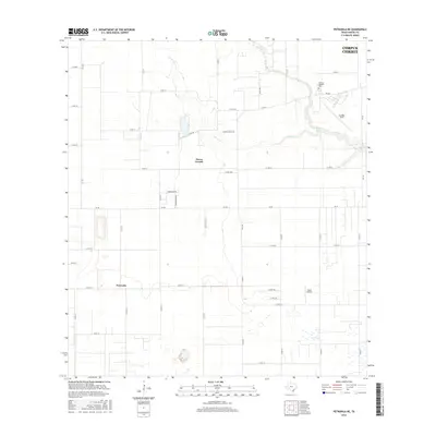
2016 Map of Petronila NE
USGS Topo · Published 2016About this map
Oso Cr and its western tributary, W Oso Cr, carve through the agricultural landscape southwest of Corpus Christi in this 2016 survey. The terrain is defined by a dense grid of farm-to-market roads and county routes, reflecting the region's agricultural productivity and transition toward residential development. Small water bodies like Belvy Lake are scattered among the fields, while larger landmarks such as Cuddihy Field and Memory Gardens Cem sit on the outskirts of the primary urban center.
Find a feature on this map
43 named features on this map. Tap any name to fly to it.
Don’t see what you’re looking for? This feature index may not catch every label — zoom into the map to look around manually.
Map Details
Editions of this 2016 Petronila NE Map
This is the sole edition of this map. No revisions or reprints were ever made.
Other maps of this area

1924 · Petronilla
USGS Topo · 1:62,500

1925 · Robstown
USGS Topo · 1:62,500

1925 · Oso Creek
USGS Topo · 1:62,500

1925 · Corpus Christi
USGS Topo · 1:62,500

1950 · Corpus Christi
USGS Topo · 1:250,000

1951 · Corpus Christi
USGS Topo · 1:24,000

1951 · Corpus Christi
USGS Topo · 1:62,500

1951 · Oso Creek NW
USGS Topo · 1:24,000

1951 · Oso Creek
USGS Topo · 1:62,500

1954 · Robstown
USGS Topo · 1:62,500