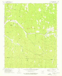
1973 Map of Pettigrew
USGS Topo · Published 1976About this map
The upper reaches of the White River and War Eagle Creek carve through the high ridges of the Ozark National Forest in this early 1970s survey. The small settlements of Pettigrew and Dutton serve as the primary human hubs in a landscape defined by steep hollows and narrow gaps. Significant for genealogists, the map identifies numerous family-named burial grounds including Adkins Cem, Watson Cem, and Williams Cem, often situated near early homestead sites in the sheltered valleys. The topography is dominated by prominent heights such as Sugar Tree Mountain, Whittmore Mountain, and High Davey Mountain. The presence of Kilgore Gap and John White Gap indicates the historical passage points for travel between the deep drainages of Indian Creek and Pea Prong Creek at the Madison County line.
Find a feature on this map
55 named features on this map. Tap any name to fly to it.
Don’t see what you’re looking for? This feature index may not catch every label — zoom into the map to look around manually.
Map Details
Editions of this 1973 Pettigrew Map
2 editions found
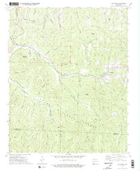
Other maps of this area

1879 · Cravens
USGS Topo · 1:62,500

1887 · Watalula
USGS Topo · 1:62,500

1906 · Batson
USGS Topo · 1:62,500

1939 · Watalula
USGS Topo · 1:62,500

1943 · St. Paul
USGS Topo · 1:62,500

1946 · St. Paul
USGS Topo · 1:62,500

1956 · Russellville
USGS Topo · 1:250,000

1964 · Russellville
USGS Topo · 1:250,000
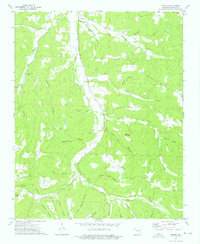
1973 · Witter
USGS Topo · 1:24,000
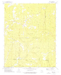
1973 · Boston
USGS Topo · 1:24,000