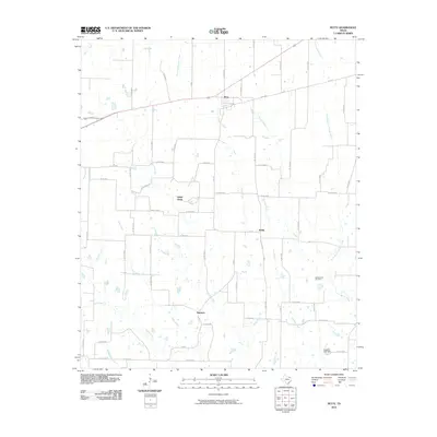
2010 Map of Petty
USGS Topo · Published 2010About this map
Petty serves as the primary focal point of this rural North Texas landscape, situated along a prominent rail line that bisects the northern half of the territory. The surrounding countryside is defined by a dense network of creek systems, including the branching paths of Rowdy Creek and Noble Creek, which drain the agricultural land between small unincorporated communities. These minor settlements, such as White Rock, Noble, and Harmon, are linked by an intricate grid of county roads and farm-to-market routes like FM 137.
Find a feature on this map
66 named features on this map. Tap any name to fly to it.
Don’t see what you’re looking for? This feature index may not catch every label — zoom into the map to look around manually.
Map Details
Editions of this 2010 Petty Map
This is the sole edition of this map. No revisions or reprints were ever made.
Other maps of this area

1903 · Paris
USGS Topo · 1:125,000

1947 · Honey Grove
USGS Topo · 1:62,500

1948 · Paris
USGS Topo · 1:62,500

1949 · Honey Grove
USGS Topo · 1:62,500

1949 · Paris
USGS Topo · 1:62,500

1953 · Texarkana
USGS Topo · 1:250,000

1956 · Texarkana
USGS Topo · 1:250,000

1964 · Cooper North
USGS Topo · 1:24,000

1964 · Ladonia
USGS Topo · 1:24,000

1964 · Pecan Gap
USGS Topo · 1:24,000