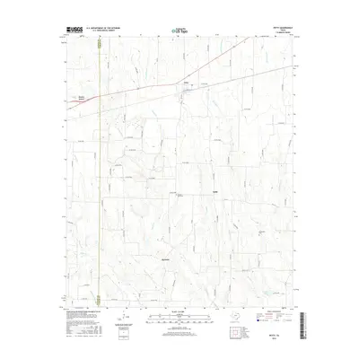
2016 Map of Petty
USGS Topo · Published 2016About this map
The Fannin Co and Lamar Co border in Northeast Texas is defined here by a dense network of seasonal creek systems and rural farm-to-market roads. The community of Petty sits at the intersection of local history, flanked by the smaller settlements of Noble and Harmon. This area of the Blackland Prairie is characterized by its agricultural heritage, with numerous family-named watercourses such as Rowdy Cr, Ghost Cr, and Stevens Cr draining the landscape.
Find a feature on this map
75 named features on this map. Tap any name to fly to it.
Don’t see what you’re looking for? This feature index may not catch every label — zoom into the map to look around manually.
Map Details
Editions of this 2016 Petty Map
This is the sole edition of this map. No revisions or reprints were ever made.
Other maps of this area

1903 · Paris
USGS Topo · 1:125,000

1947 · Honey Grove
USGS Topo · 1:62,500

1948 · Paris
USGS Topo · 1:62,500

1949 · Honey Grove
USGS Topo · 1:62,500

1949 · Paris
USGS Topo · 1:62,500

1953 · Texarkana
USGS Topo · 1:250,000

1956 · Texarkana
USGS Topo · 1:250,000

1964 · Cooper North
USGS Topo · 1:24,000

1964 · Ladonia
USGS Topo · 1:24,000

1964 · Pecan Gap
USGS Topo · 1:24,000