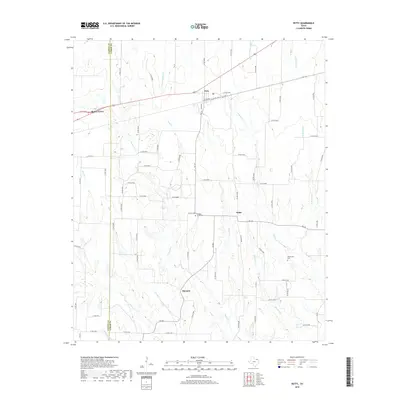
2019 Map of Petty
USGS Topo · Published 2019About this map
The boundary between Fannin and Lamar counties divides a landscape of rural agricultural communities and wandering creek beds. Honey Grove sits on the western edge, while the town of Petty and the smaller settlements of Noble and Harmon are connected by a network of farm-to-market roads and county lanes. The terrain is defined by a dense system of drainage, with Ghost Cr, Noble Cr, and Rowdy Cr flowing across the territory, punctuated by local family landmarks and resting places like the McGlasson Cem and Hickory Grove Cem. This 2019 survey documents the enduring rural character of North Texas, where historical land divisions and original watercourse names like Wafer Cr and Whittenburg Cr remain primary markers of place.
Find a feature on this map
76 named features on this map. Tap any name to fly to it.
Don’t see what you’re looking for? This feature index may not catch every label — zoom into the map to look around manually.
Map Details
Editions of this 2019 Petty Map
This is the sole edition of this map. No revisions or reprints were ever made.
Other maps of this area

1903 · Paris
USGS Topo · 1:125,000

1947 · Honey Grove
USGS Topo · 1:62,500

1948 · Paris
USGS Topo · 1:62,500

1949 · Honey Grove
USGS Topo · 1:62,500

1949 · Paris
USGS Topo · 1:62,500

1953 · Texarkana
USGS Topo · 1:250,000

1956 · Texarkana
USGS Topo · 1:250,000

1964 · Cooper North
USGS Topo · 1:24,000

1964 · Ladonia
USGS Topo · 1:24,000

1964 · Pecan Gap
USGS Topo · 1:24,000