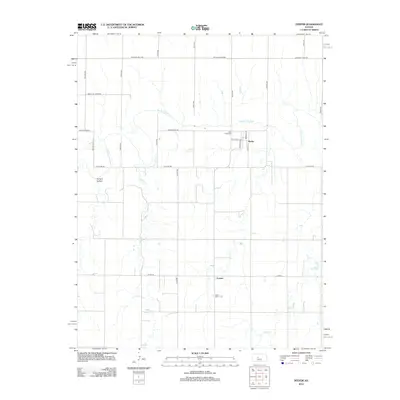
2012 Map of Pfeifer
USGS Topo · Published 2012About this map
The Smoky Hill River winds through this central Kansas landscape, defining the character of the river valley as it was documented in 2012. The settlement of Pfeifer sits just north of the river, where local history is anchored by the Holy Cross Cem. To the south, the community of Loretta and the Saint Mary's Cem provide key landmarks for genealogists and local historians tracing family roots in Ellis County.
Find a feature on this map
28 named features on this map. Tap any name to fly to it.
Don’t see what you’re looking for? This feature index may not catch every label — zoom into the map to look around manually.
Map Details
Editions of this 2012 Pfeifer Map
This is the sole edition of this map. No revisions or reprints were ever made.
Other maps of this area
1896 · Hays
USGS Topo · 1:125,000
1955 · Great Bend
USGS Topo · 1:250,000
1957 · Great Bend
USGS Topo · 1:250,000
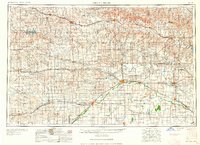
1958 · Great Bend
USGS Topo · 1:250,000
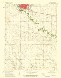
1961 · Hays South
USGS Topo · 1:24,000
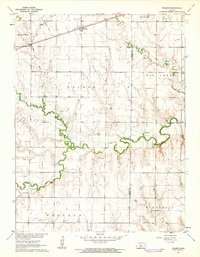
1961 · Walker
USGS Topo · 1:24,000
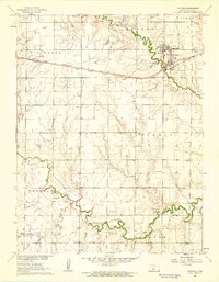
1961 · Victoria
USGS Topo · 1:24,000
1965 · Otis
USGS Topo · 1:24,000
1966 · La Crosse
USGS Topo · 1:24,000
1966 · Bison
USGS Topo · 1:24,000