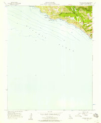
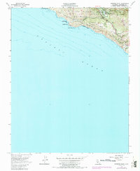
1956 Map of Pfeiffer Point
USGS Topo · Published 1957About this map
The coastal terrain of Pfeiffer Big Sur State Park dominates this mid-century survey of the Monterey coast. This era of the Big Sur landscape shows a concentration of infrastructure along the Coast Highway, including the Pfeiffer Sch and the Big Sur Guard Sta. The map highlights a localized economy of recreation and conservation, featuring established sites such as Sawmill Flat Campground, South Campground, and Weyland Camp near the Big Sur River.
Find a feature on this map
31 named features on this map. Tap any name to fly to it.
Don’t see what you’re looking for? This feature index may not catch every label — zoom into the map to look around manually.
Map Details
Editions of this 1956 Pfeiffer Point Map
5 editions found
Other maps of this area

1918 · Point Sur
USGS Topo · 1:62,500

1920 · Jamesburg
USGS Topo · 1:48,000

1921 · Jamesburg
USGS Topo · 1:62,500

1921 · Lucia
USGS Topo · 1:62,500

1925 · Point Sur
USGS Topo · 1:62,500

1939 · Jamesburg
USGS Topo · 1:62,500

1940 · Jamesburg
USGS Topo · 1:62,500

1941 · Lucia
USGS Topo · 1:62,500

1947 · Lucia
USGS Topo · 1:62,500

1947 · Jamesburg
USGS Topo · 1:62,500