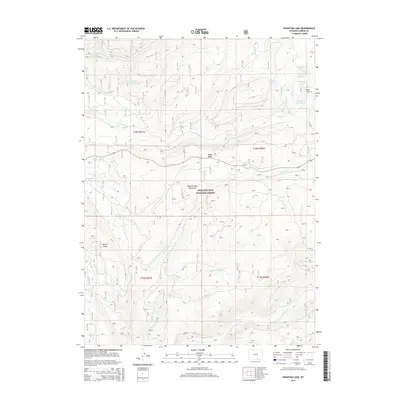
2015 Map of Phantom Lake
USGS Topo · Published 2015About this map
Medicine Bow National Forest encompasses this high-elevation landscape in the Medicine Bow Mountains, where a complex network of streams and alpine lakes defines the hydrology of Carbon County. Water management and historical industrial activity are evident in features such as Araster Reservoir and Stamp Mill Lake, names that suggest a legacy of ore processing near Gold Hill. The terrain is marked by prominent landforms including Slash Ridge and Barrett Ridge, while numerous drainages like Lincoln Cr, N French Cr, and S Brush Cr carve through the mountains.
Find a feature on this map
27 named features on this map. Tap any name to fly to it.
Don’t see what you’re looking for? This feature index may not catch every label — zoom into the map to look around manually.
Map Details
Editions of this 2015 Phantom Lake Map
This is the sole edition of this map. No revisions or reprints were ever made.
Other maps of this area

1906 · Medicine Bow
USGS Topo · 1:125,000

1908 · Medicine Bow
USGS Topo · 1:125,000

1939 · Saratoga
USGS Topo · 1:125,000

1954 · Rawlins
USGS Topo · 1:250,000

1958 · Rawlins
USGS Topo · 1:250,000

1961 · Overlook Hill
USGS Topo · 1:24,000

1961 · Ryan Park
USGS Topo · 1:24,000

1961 · Sand Lake
USGS Topo · 1:24,000
1961 · Kennaday Peak
USGS Topo · 1:24,000

1961 · Medicine Bow Peak
USGS Topo · 1:24,000