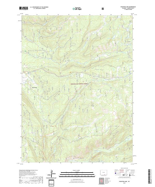
2021 Map of Phantom Lake
USGS Topo · Published 2021About this map
Gold Hill rises as a focal point of historic mining activity within the high-elevation terrain of the Medicine Bow National Forest. This 2021 survey documents the complex hydrological network of the Medicine Bow Mountains, where numerous small glacial lakes such as Phantom Lake, Magnolia Lake, and Stamp Mill Lake suggest a legacy of early resource extraction and industrial water use. The name Stamp Mill Lake specifically points to the processing infrastructure once required for local ore.
Find a feature on this map
28 named features on this map. Tap any name to fly to it.
Don’t see what you’re looking for? This feature index may not catch every label — zoom into the map to look around manually.
Map Details
Editions of this 2021 Phantom Lake Map
This is the sole edition of this map. No revisions or reprints were ever made.
Other maps of this area

1906 · Medicine Bow
USGS Topo · 1:125,000

1908 · Medicine Bow
USGS Topo · 1:125,000

1939 · Saratoga
USGS Topo · 1:125,000

1954 · Rawlins
USGS Topo · 1:250,000

1958 · Rawlins
USGS Topo · 1:250,000

1961 · Overlook Hill
USGS Topo · 1:24,000

1961 · Ryan Park
USGS Topo · 1:24,000

1961 · Sand Lake
USGS Topo · 1:24,000
1961 · Kennaday Peak
USGS Topo · 1:24,000

1961 · Medicine Bow Peak
USGS Topo · 1:24,000