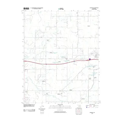
2010 Map of Pharoah
USGS Topo · Published 2010About this map
The Oklahoma oil and gas industry defines this region of Okmulgee County, where large operations like the Henryetta Oil and Gas Field and the Bryant Oil Field dominate the landscape. In the southern portion of the sheet, the community of Bryant sits near the Southeast Bryant Oil and Gas Field, while the settlement of Pharoah marks the western edge along Montezuma Creek. The terrain is also characterized by a high density of small water management structures, including the Oknoname 111054 Dam and several reservoirs clustered near the center of the survey.
Find a feature on this map
63 named features on this map. Tap any name to fly to it.
Don’t see what you’re looking for? This feature index may not catch every label — zoom into the map to look around manually.
Map Details
Editions of this 2010 Pharoah Map
This is the sole edition of this map. No revisions or reprints were ever made.
Other maps of this area

1896 · Okmulgee
USGS Topo · 1:125,000

1900 · Canadian
USGS Topo · 1:125,000

1900 · Wewoka
USGS Topo · 1:125,000

1900 · Okmulgee
USGS Topo · 1:125,000

1901 · Nuyaka
USGS Topo · 1:125,000

1946 · Fort Smith
USGS Topo · 1:250,000

1954 · Oklahoma City
USGS Topo · 1:250,000

1957 · Oklahoma City
USGS Topo · 1:250,000

1962 · Henryetta
USGS Topo · 1:24,000

1962 · Henryetta SW
USGS Topo · 1:24,000