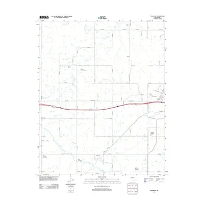
2012 Map of Pharoah
USGS Topo · Published 2012About this map
Henryetta anchor the eastern edge of this landscape, where the town's residential grid meets the industrial infrastructure of the Henryetta Oil and Gas Field. The map records a complex network of resource extraction, with the Bryant Oil Field and Lyons-Quinn Oil and Gas Field marking the rural terrain between the primary settlements. Genealogical detail is particularly strong across the quadrangle, preserving locations for numerous family and community burial grounds including Arbeka Cem, Likowski Cem, and the Wilson Cem near the northern boundary.
Find a feature on this map
66 named features on this map. Tap any name to fly to it.
Don’t see what you’re looking for? This feature index may not catch every label — zoom into the map to look around manually.
Map Details
Editions of this 2012 Pharoah Map
This is the sole edition of this map. No revisions or reprints were ever made.
Other maps of this area

1896 · Okmulgee
USGS Topo · 1:125,000

1900 · Canadian
USGS Topo · 1:125,000

1900 · Wewoka
USGS Topo · 1:125,000

1900 · Okmulgee
USGS Topo · 1:125,000

1901 · Nuyaka
USGS Topo · 1:125,000

1946 · Fort Smith
USGS Topo · 1:250,000

1954 · Oklahoma City
USGS Topo · 1:250,000

1957 · Oklahoma City
USGS Topo · 1:250,000

1962 · Henryetta
USGS Topo · 1:24,000

1962 · Henryetta SW
USGS Topo · 1:24,000