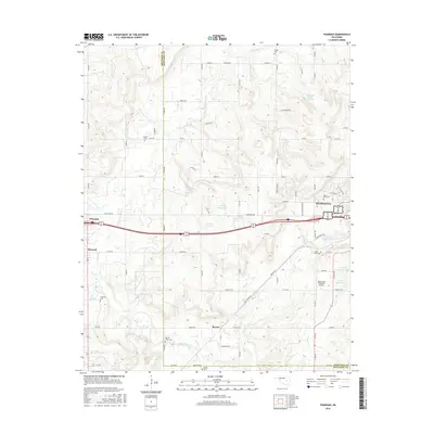
2016 Map of Pharoah
USGS Topo · Published 2016About this map
The boundary between Okfuskee and Okmulgee counties cuts through this landscape, which is defined by the intersection of traditional settlements and modern infrastructure. The city of Henryetta serves as a primary hub in the northeast, where the Henryetta Municipal Airport and West Lawn Cem are prominent. Further west, the small community of Pharoah and the town of Weleetka sit along the path of Old US Hwy 62.
Find a feature on this map
75 named features on this map. Tap any name to fly to it.
Don’t see what you’re looking for? This feature index may not catch every label — zoom into the map to look around manually.
Map Details
Editions of this 2016 Pharoah Map
This is the sole edition of this map. No revisions or reprints were ever made.
Other maps of this area

1896 · Okmulgee
USGS Topo · 1:125,000

1900 · Canadian
USGS Topo · 1:125,000

1900 · Wewoka
USGS Topo · 1:125,000

1900 · Okmulgee
USGS Topo · 1:125,000

1901 · Nuyaka
USGS Topo · 1:125,000

1946 · Fort Smith
USGS Topo · 1:250,000

1954 · Oklahoma City
USGS Topo · 1:250,000

1957 · Oklahoma City
USGS Topo · 1:250,000

1962 · Henryetta
USGS Topo · 1:24,000

1962 · Henryetta SW
USGS Topo · 1:24,000