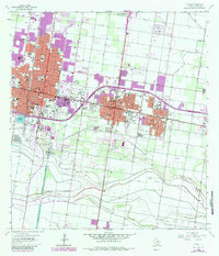
1963 Map of Pharr
USGS Topo · Published 1984About this map
McAllen, Pharr, and San Juan form a dense corridor of growth along the Southern Pacific and Missouri Pacific railroad lines in this early 1960s study, later updated with early 1980s revisions. The landscape is a distinct blend of rapid urban expansion and intensive hydraulic engineering, where the sprawling residential blocks of Edinburg and Alamo give way to the critical infrastructure of the Main Floodway and the Shepherd Gas and Oil Field. Educational and civic life is anchored by numerous neighborhood institutions such as Lamar Jr High Sch, Andrew Jackson Sch, and the Pharr-San Juan-Alamo High Sch. Along the southern margins, the terrain transitions into a more industrial and resource-based economy, evidenced by the Mc Allen Gas Field and the Pharr Gas Field, while aviation interests are centered at the Miller International Airport.
Find a feature on this map
49 named features on this map. Tap any name to fly to it.
Don’t see what you’re looking for? This feature index may not catch every label — zoom into the map to look around manually.
Map Details
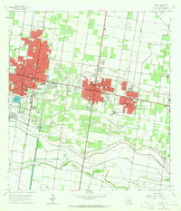
Editions of this 1963 Pharr Map
2 editions found
Other maps of this area

1914 · San Juan
USGS Topo · 1:48,000

1916 · San Juan
USGS Topo · 1:62,500

1940 · Monte Christo
USGS Topo · 1:62,500

1949 · Mc Allen
USGS Topo · 1:250,000

1954 · McAllen
USGS Topo · 1:250,000

1957 · Mc Allen
USGS Topo · 1:250,000

1962 · McAllen
USGS Topo · 1:250,000
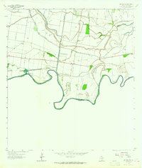
1962 · San Juan SE
USGS Topo · 1:24,000
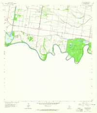
1962 · Las Milpas
USGS Topo · 1:24,000

1963 · Edinburg
USGS Topo · 1:24,000