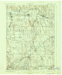
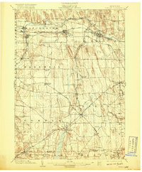
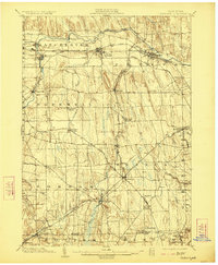
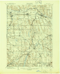
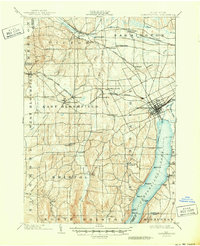
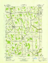
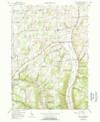
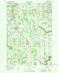
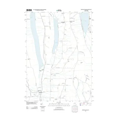
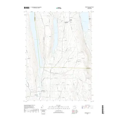
1902 Map of Phelps
USGS Topo · Published 1934About this map
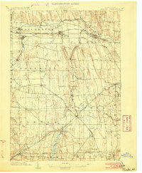
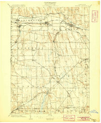
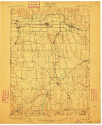
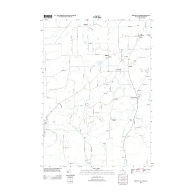
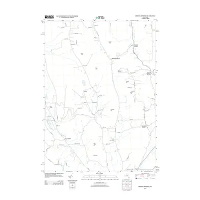
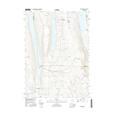
Industrial and agricultural development at the turn of the century defines this portion of Ontario and Yates Counties. The Canandaigua Outlet powers its way through the northern townships, supporting settlements like Shortsville and Manchester. The arrival of the New York Central And Hudson River R.R. and the Lehigh Valley R.R. transformed the region into a vital transport corridor, connecting the therapeutic waters of Clifton Springs to broader markets. Further south, the landscape transitions into a complex pattern of drumlins and fertile valleys, where the N.Y. Agricultural Station stands near Oaks Corners. This 1902 survey reveals a dense network of small hamlets such as Seneca Castle, Hopewell, and Gorham that thrived before the widespread adoption of the automobile, each centered around local rail junctions like Phelps Junction or the winding path of Flint Creek.
Find a feature on this map
52 named features on this map. Tap any name to fly to it.
Don’t see what you’re looking for? This feature index may not catch every label — zoom into the map to look around manually.
Map Details
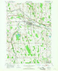
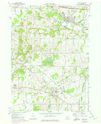
Editions of this 1902 Phelps Map
7 editions found
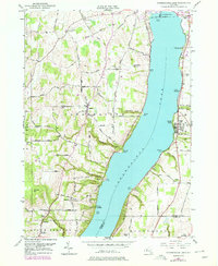
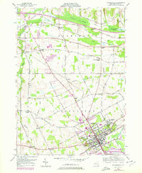
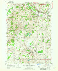
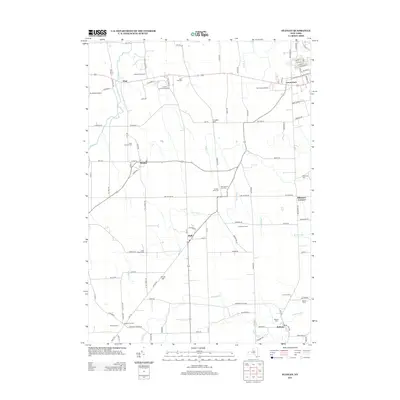
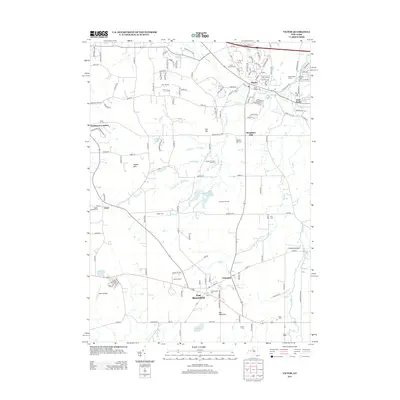
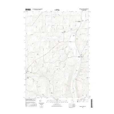
Historical Maps of Farmington Through Time
61 maps found

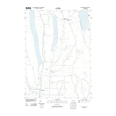
1900 Canandaigua
Ontario County, NY
1900 Naples
Ontario County, NY
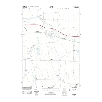
1902 Phelps
Ontario County, NY
1903 Canandaigua
Ontario County, NY
1903 Naples
Ontario County, NY

1913 Naples
Ontario County, NY

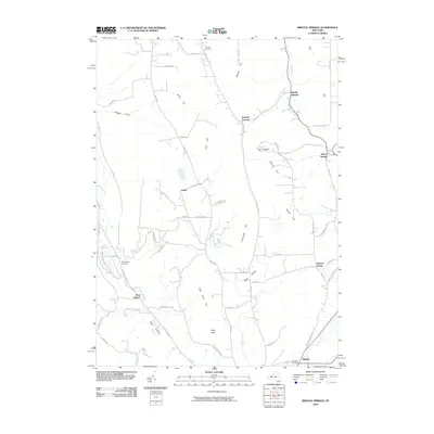
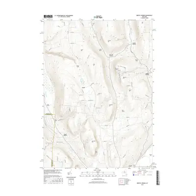
1942 Bristol Springs
Ontario County, NY
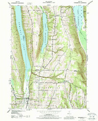
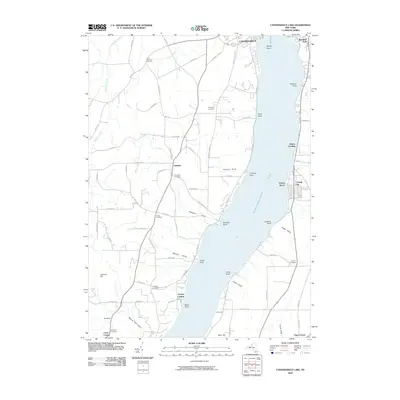
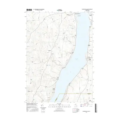
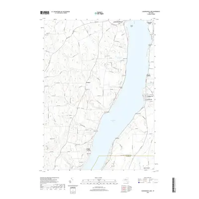
1942 Canandaigua Lake
Ontario County, NY
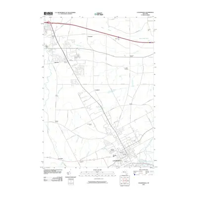
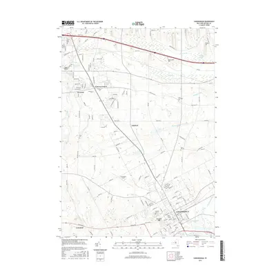
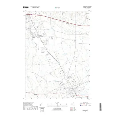
1942 Canandaigua
Ontario County, NY
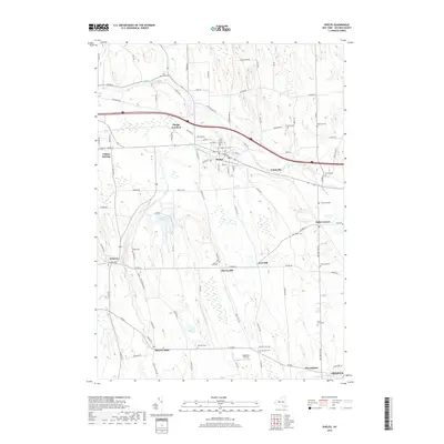
1942 Springwater
Ontario County, NY
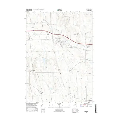
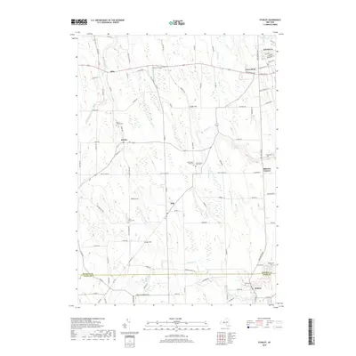
1942 Stanley
Ontario County, NY

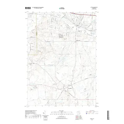
1942 Victor
Ontario County, NY
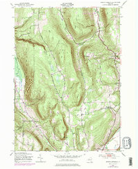
1943 Bristol Springs
Ontario County, NY
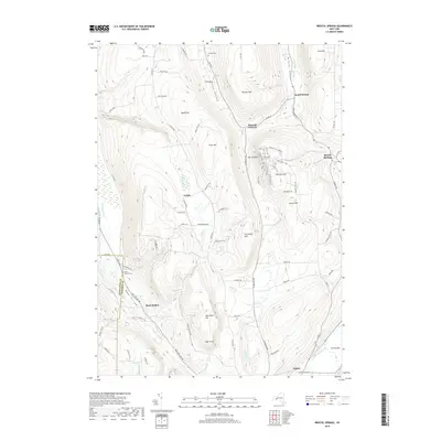
1943 Phelps
Ontario County, NY
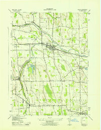
1951 Bristol Center
Ontario County, NY
1951 Canandaigua Lake
Ontario County, NY
1951 Canandaigua
Ontario County, NY
1951 Victor
Ontario County, NY
1952 Stanley
Ontario County, NY
1953 Phelps
Ontario County, NY
1971 Victor
Ontario County, NY
2010 Bristol Center
Ontario County, NY
2010 Bristol Springs
Ontario County, NY
2010 Canandaigua Lake
Ontario County, NY
2010 Canandaigua
Ontario County, NY
2010 Phelps
Ontario County, NY
2010 Springwater
Ontario County, NY
2010 Stanley
Ontario County, NY
2010 Victor
Ontario County, NY
2013 Bristol Center
Ontario County, NY
2013 Bristol Springs
Ontario County, NY
2013 Canandaigua Lake
Ontario County, NY
2013 Canandaigua
Ontario County, NY
2013 Phelps
Ontario County, NY
2013 Springwater
Ontario County, NY
2013 Stanley
Ontario County, NY
2013 Victor
Ontario County, NY
2016 Bristol Center
Ontario County, NY
2016 Bristol Springs
Ontario County, NY
2016 Canandaigua Lake
Ontario County, NY
2016 Canandaigua
Ontario County, NY
2016 Phelps
Ontario County, NY
2016 Springwater
Ontario County, NY
2016 Stanley
Ontario County, NY
2016 Victor
Ontario County, NY
2019 Bristol Center
Ontario County, NY
2019 Bristol Springs
Ontario County, NY
2019 Canandaigua Lake
Ontario County, NY
2019 Canandaigua
Ontario County, NY
2019 Phelps
Ontario County, NY
2019 Springwater
Ontario County, NY
2019 Stanley
Ontario County, NY
2019 Victor
Ontario County, NY

2023 Bristol Center
Ontario County, NY

2023 Bristol Springs
Ontario County, NY

2023 Canandaigua Lake
Ontario County, NY

2023 Canandaigua
Ontario County, NY

2023 Phelps
Ontario County, NY

2023 Springwater
Ontario County, NY

2023 Stanley
Ontario County, NY

2023 Victor
Ontario County, NY